BİMD 3D MODEL
LAYİHƏLƏRİNİZİN AĞILLI HƏLLİ

SCAN TO BİM
LAZER ÇƏKİLİŞLƏRİ VƏ BİM MODELLƏRİ
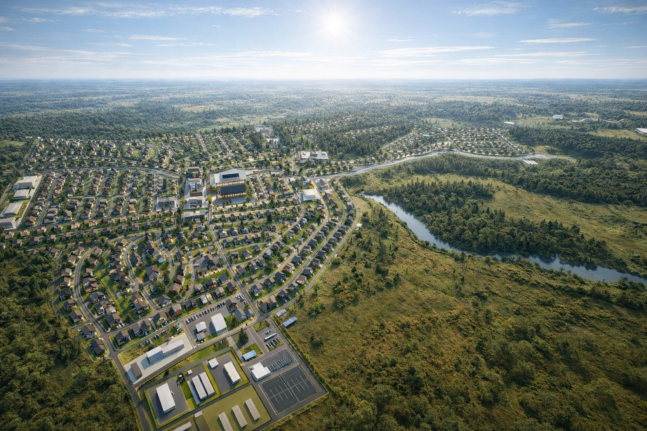
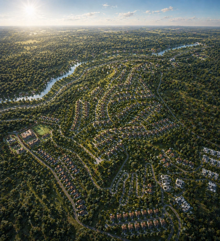
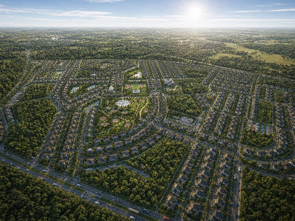
GİS
Geoinformation Systems
A Geographic Information System (GIS) is a modern computer technology used for mapping and analyzing real-world objects, current events, and predicted phenomena. GIS naturally represents spatial data.
The A-Z-GIS Geoinformation System developed by BIMD company together with its partners includes tools for creating and editing digital maps, performing various measurements and calculations, overlay operations, creating 3D models, processing raster data, preparing graphical documents in both electronic and printed formats, as well as working with databases.
GIS combines traditional database operations such as queries and statistical analysis with the advantages of rich map visualization and spatial analysis. This feature provides unique opportunities to use GIS for solving a wide range of problems related to event analysis, forecasting possible outcomes, and strategic decision-making.
In GIS, data is stored as a collection of thematic layers linked by geographic location. This flexible approach, along with the ability of GIS to work with both vector and raster data models, makes it highly effective in solving any spatial data-related problems.